 FREE UK tracked delivery
 Order by 12pm Mon-Fri for same day dispatch
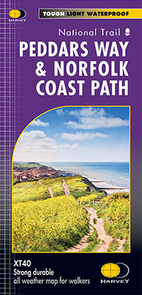
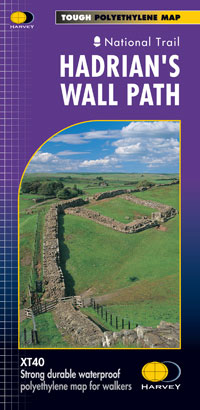
National Trail Map
Series Information
Detailed 1:40,000 scale maps of English and Welsh National trails and Scottish Great Trails
"A great companion to a National Trail. Clear mapping and concise information enhance enjoyment of the journey", Malcolm Hodgson, North York Moors NPA
Confidence
- The detail you need for sure navigation
- Clear 1:40,000 scale mapping with full legend
- Full legend
- Can be used with GPS
- National Grid for accurate reference
- Information on finding accommodation, camping, food
- Introduction to the route
- Tips on weather and clothing
Quality
- Directions to start
- Shows facilities available in towns and villages
- Ranger Service contact numbers
Value
- XT40 HARVEY Trail Maps are 100% waterproof
- Tough and hard wearing
- Half the weight of a laminated map
- Information in English, French and German (selected titles)
View and download the legend in PDF format
Click here to see Product Specification for this series
Note - pictures will change automatically. This feature is paused if the cursor is positioned on top of the picture. Use the navigation arrows in the bottom left corner to change picture, or alternatively drag the image left or right.


