FREE UK tracked delivery
 Order by 12pm Mon-Fri for same day dispatch
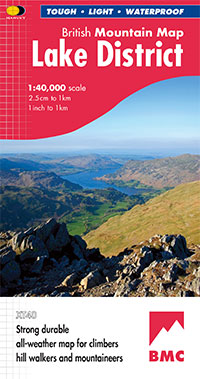
British Mountain Map
Map Reverse
British Mountain Maps include lots of information on the reverse, including safety advice, geological information and climbing crag diagrams.
Download PDF

Map Legend
Symbol specification for the British Mountain Map
Download PDF
Series information
Detailed maps of National Parks and other popular walking areas in the UK at 1:40,000 scale.
"The best Lake District map I have ever seen. The 1:40,000 scale provides clear, detailed information to one of the most popular hill walking areas in Britain", Sir Chris Bonington, speaking of the British Mountain Map of the Lake District
Confidence
- Clear detailed mapping from aerial surveys
- Includes the National Grid
- Can be used with GPS
- Durable, tear resistant and 100% waterproof
- Tried and tested by the British Mountaineering Council
Quality
- Geology map specially developed by the British Geological Survey
- Layer colouring for easy identification of hills and valleys
- Less than half the weight of a laminated map
Value
- Large area on one sheet thanks to the 1:40,000 scale
- Mountain incident information and useful telephone numbers
- Detailed enlargements of selected summits
- Climbers' crags highlighted
View and download the legend in PDF format
Click here to see Product Specification for this series
Note - pictures will change automatically. This feature is paused if the cursor is positioned on top of the picture. Use the navigation arrows in the bottom left corner to change picture, or alternatively drag the image left or right.