 FREE UK tracked delivery
 Order by 12pm Mon-Fri for same day dispatch
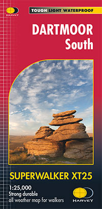
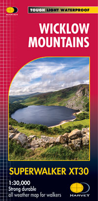
Superwalker
Series information
Detailed 1:25,000 scale maps of the UK and 1:30,000 scale maps of Ireland.
"The clearest map I've ever seen of the complex Cuillin", Hamish Brown speaking of the Skye Cuillin Superwalker
Key Features
- Half the weight of a laminated map
- Shows land shape in clear and accurate contours
- Clarity of mapping enables more people to read it without their glasses
- Map is uncluttered by information irrelevant to the walker
Confidence
- The detail you need for sure navigation
- Can be used with GPS
- Public footpaths and bridleways
- National Grid for accurate reference
Quality
- Clear and detailed mapping from original aerial surveys
- Field checked by surveyors who are themselves walkers
- As used by Mountain Rescue Teams for Skye, Lochaber, Glen Coe, Kintail, Killin, Ochils & Lake District
Value
- Waterproof, longer lasting
View and download the legend in PDF format
Click here to see Product Specification for this series
Note - pictures will change automatically. This feature is paused if the cursor is positioned on top of the picture. Use the navigation arrows in the bottom left corner to change picture, or alternatively drag the image left or right.


