Product Description
Helps you decipher the detail
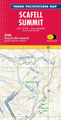
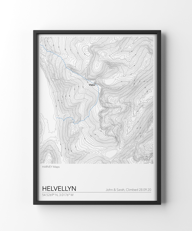
Enlarged map for hillwalkers of the summit of Helvellyn at 1:12,500 scale.
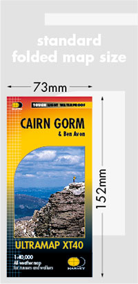
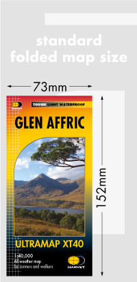
NEW SMALLER FORMAT - pocket sized! 148 x 72mm. Each map weighs just 10g and covers an area approximately 3 x 4km.
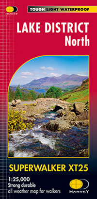
This map of just the summit at a very large scale is intended to provide extra clarity and supplementary detail for a complex piece of terrain. Most commonly it would be used in conjunction with another map of a wider area e.g. the HARVEY Superwalker at 1:25,000 or OS Explorer, which would provide information needed to reach the summit area.
The big scale makes it very clear and readable. Useful for detailed navigation in this complex area, particularly in poor conditions. Has a 100m grid for use with GPS.
Click here to view map coverage
Tough. Light. Waterproof.
Extra clear for fine navigation in bad conditions such as mist, darkness or snow
Genuine original HARVEY mapping
Includes Rights of Way
Mountains on this map
| Mountain | Class | Height | Grid Ref |
|---|
 01786 841202
 FREE UK tracked delivery
 Order by 12pm Mon-Fri for same day dispatch