01786 841202


Common navigation errors and how to avoid them part 2
by Nigel Williams
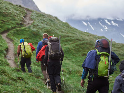
Going uphill into the mist the horizon narrows as the terrain drops away to the sides and the summit nears. Just keep climbing upwards in the mist and one is generally channeled to the summit cairn. Descending from a summit though is very different, the landscape expands wider offering increasingly fewer clues as to the direction of travel.
After a short summit stop the desire to get going and warm up leads people to head downwards with the expectation of finding the path without wanting to stop to get an accurate bearing for the descent route. It seems easy enough, just retrace one's steps to pick up the path. However, the tops of many hills are rocky with boulders spread for some distance from the summit so there may be no clear path to or from the summit for 50 meters or more and every direction from the summit in the mist looks remarkably similar.
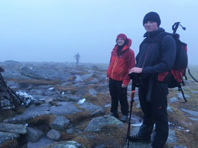
When the path fails to appear it is usual to start trending left and right hoping to pick it up until suddenly coming out of the mist there is a view of a landscape below that doesn't make sense. You find yourself on the wrong side of the hill, however, it should be reasonably easy to relocate oneself in that situation.
If still in the mist when the error is realised, perhaps by taking a slope aspect, going back uphill to the summit and taking an accurate bearing for the way off is likely to be the most reliable solution. It probably depends on how far you have descended though.
To avoid this trap in the first place, get the descent bearing onto the compass and note the distance information from the map immediately on arrival at the top and before taking a break and having a bite to eat and drink. This allows for that rapid departure to get warm again which overrides spending time working out the navigation, anticipation or relocation.
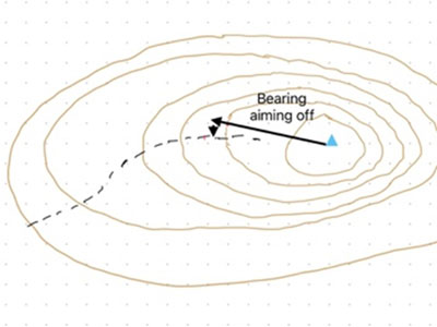
There is another little trick that can help in this scenario and particularly if wayfinding cross country off a path even in fine weather. Take time to stop regularly and study the ground behind which you have just crossed, try to memorize specific landmarks that might be useful on the return journey later in the day. E.g. boulders, knolls, re-entrants, outcrops, alignment with woods or rivers in the distance etc. Getting all the group to participate in this as well can be very useful and builds in natural rest stops.
Photo and diagram Nigel Williams.
- If you are in need of a compass then we stock a great range of items and other useful navigation equipment, suitable for all levels of navigation.
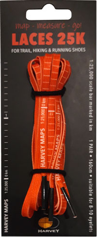
- For the perfect lanyard to go with your compass, the HARVEY Map - Measure - Go! scale bar laces double up to make measuring distance easy! Available in two scales, 1:25,000 scale markings (red) and 1:40,000 scale markings (yellow).
Return to the Navigation Blog