Summit maps
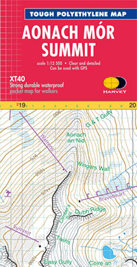
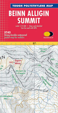
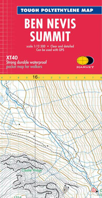
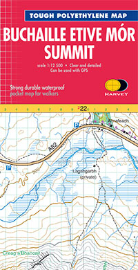
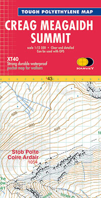
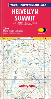
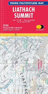
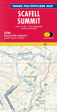
Map of the summit only at the very large scale of 1:12,500.
Intended to provide supplementary detail of a complex piece of terrain.
- Covers an area 4 x 3km
- HARVEY Summit Maps are 100% waterproof
- Tough and durable
- Small and light to have in your pocket or rucksack till you near the summit
- Extra clear for fine navigation in bad conditions such as mist, darkness or snow
- Includes National Grid with 100m grid squares; can be used with GPS
 FREE UK tracked delivery
 Order by 12pm Mon-Fri for same day dispatch

