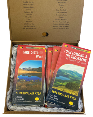
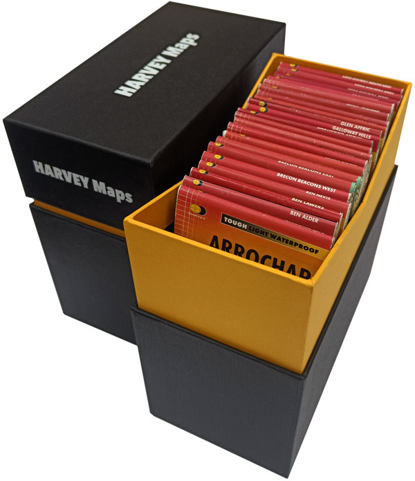
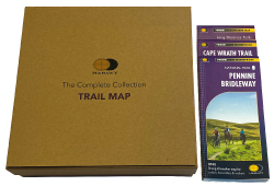
Product Description
British Mountain Map - The Complete Collection
Get all of our top of the range, waterproof and detailed British Mountain Maps, presented in a special HARVEY Maps presentation box. The perfect gift!
Detailed maps of National Parks and other popular walking areas in the UK at 1:40,000 scale. A large area on one sheet with full detail.
Made in conjunction with the British Mountaineering Council.
16 titles are included in the set:
- Assynt & Coigach
- Ben Nevis & Glen Coe
- Brecon Beacons
- Cairngorms & Lochnagar
- Dartmoor
- Dark Peak
- Knoydart, Kintail & Glen Affric
- Lake District
- North York Moors
- Schiehallion, Ben Lawers & Glen Lyon
- Snowdonia North
- Snowdonia South
- Southern Highlands, The Trossachs & Ben Cruachan
- Torridon & Fisherfield
- White Peak
- Yorkshire Dales
Tough, light, durable and 100% waterproof
Genuine original HARVEY mapping
Includes Rights of Way (England and Wales)
Tried and tested by the British Mountaineering Council and Mountaineering Scotland
For more information on the British Mountain Map
click here Mountains on this map
| Mountain | Class | Height | Grid Ref |
|---|
 FREE UK tracked delivery
 Order by 12pm Mon-Fri for same day dispatch