 FREE UK tracked delivery
 Order by 12pm Mon-Fri for same day dispatch
June 2021 - Intermediate Navigation Skills - Map Skills
by Nigel Williams
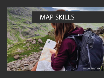
Map Skills
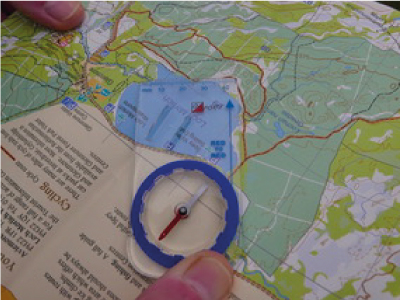
Key to this stage is developing contour interpretation, getting to grips with the third dimension. As the terrain and map scale offers less in the way of tangible features they become more relevant. Even when walking on a path, look for changes in the contour spacing and the angle that the path crosses the contours. It is not just that the contours being closer means that the path will get steeper, but noting exactly where the changes happen enables us to pinpoint our location.
Using the altimeter on the free OS Locate App, one can quickly confirm the location. Off the path one can practice contouring, perhaps identifying a stream junction a few hundred metres off to the side of a path. Note its altitude from the map. Leave the path at that altitude and try to contour to the junction by keeping the altimeter reading within around 5m of the target height. See how close you are to the junction when you get there.
Just doing these practice exercises will considerably extend your navigation skills and confidence.
Return to the Navigation Blog


