 FREE UK tracked delivery
 Order by 12pm Mon-Fri for same day dispatch
The strategies people employ when lost
by Nigel Williams
We had a lot in common not just an interest in human navigation, I had lived and worked in the field of outdoor and adventure leadership for a few years in southern Norway and my son spent a year at NTNU studying design technology.
Ole has a background in design and architecture, so, why you might ask, is he looking into outdoor navigation and "waylosing"? Well, becoming lost happens to us all and understanding the cognitive responses and strategies that we use to unravel the situation can be informative across a wide range of indoor and outdoor situations.
The simplified London Underground map, recognised across the world, was originally the brainchild of Underground electrical draughtsman, Harry Beck, who produced this simple design back in 1933 and it is successfully interpreted daily by millions of people.
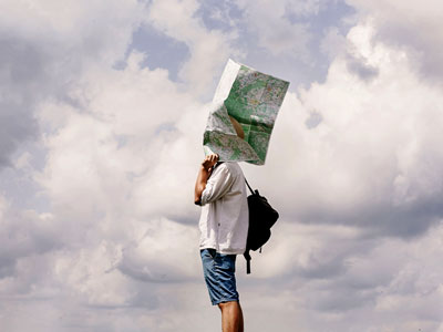
However, once out of the station and on to the street it can be a real struggle to orientate yourself and locate where you are and which direction to go in. Often there is a map board near the entrance. The map is in a vertical plane when we are more used to navigating with a map in a horizontal plane and being able to move around it. What is the orientation of the map, is north at the top and does the writing relate to that? What direction are you looking in when you are facing it and which way should you go?
I really struggle with that yet there is a whole world of research by eminent academics into the subject of positioning and orientation of street maps and floor plans of complex buildings. The type face, colours and symbols all receive extensive research as well as the area to be covered, orientation, scale and accessibility for colour blindness and vision impairment. All elements are becoming increasingly informed through cognitive navigation research.
Following Ole's RIN talk, there was some discussion around how his current outdoor navigation research might be mirrored in the UK. However, making waylosing comparisons between the two nations is not simple, Norway is almost twice the size of UK, with a population of only 5 million people (similar to Scotland) compared to UK's 65 million. Norway has 48 National Parks compared to UK's 15. Other differences are urbanisation of the UK close to the hills, historical legal access rights, cultural connectivity to wild landscapes and the outdoor environment.
Norwegians have largely been brought up with strong connections to their natural environment and outdoor life, "friluftsliv "- or "open-air-life" - hiking, fishing, canoeing etc. Their access rights "allemannsretten" a "freedom to roam" was enshrined in their 1957 outdoor recreation act and has supported that way of life. The Scottish access legislation of 2005 was largely based on the Norwegian model. In Scotland we have a "right of responsible access" (not a right to roam as is often quoted in the press).
The UK maritime climate with much of our uplands being on the west coast means we have less stable weather than many parts of Norway so we could have a greater propensity for walking in poor weather increasing the chances of waylosing.
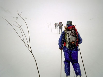
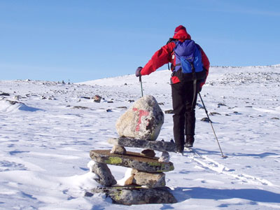
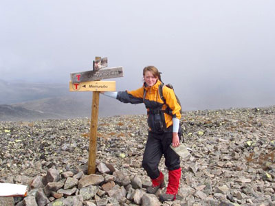
However, there are general similarities in the actions people tend to take when lost in upland areas. These range from searching around for nearby navigational clues or if the terrain allows heading in a specific direction, often descending, to find a linear feature which can be followed to safety. It might involve using the compass needle or environmental cues such as the sun. Asking a passerby or calling a friend are also common approaches. A 2022 OS survey of 2000 walkers found that roughly 100 of the people admitting to being lost had resorted to calling mountain rescue. Other strategies include going to higher ground for improved viewing of the surroundings if visibility is good, and even letting your dog lead you back to the car.
- If you are in need of a compass then we stock a great range of items and other useful navigation equipment, suitable for all levels of navigation.
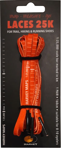
- For the perfect lanyard to go with your compass, the HARVEY Map - Measure - Go! scale bar laces double up to make measuring distance easy! Available in two scales, 1:25,000 scale markings (red) and 1:40,000 scale markings (yellow).
Return to the Navigation Blog


