November 2020 - Cognitive navigation and GPS
by Nigel Williams

London cabbies usually spend around 4 years memorising the A-Z map of central London, they call it "Knowledge". They can go between any two places in any direction and are able to work out alternatives if there are delays. They don't use GPS. MRI scans of their brains as they learn the Knowledge shows that they develop a larger than usual hippocampus.
Research into the cognitive impact of using a GPS for navigation goes back to the early 2000s. One experiment asked two sets of people to navigate a route through a built-up area. One set were equipped with maps and compasses the other following the route on a GPS. On arrival at the destination point the navigation tools were removed and they were asked to back track the route from memory. The map and compass users managed the task quickly with few mistakes. The GPS users had difficulty in achieving the task.
Following the dot or arrow on the screen meant that they had barely observed any landmarks around them nor were they particularly conscious of key decision-making points along the route.
Further studies have demonstrated that habitual use of the GPS fails to develop navigation decision making skills but more fundamentally, it fails to develop our cognitive navigation skills in the hippocampus. Furthermore, it appears that the part of the brain required to interact with the GPS, the caudate nucleus (the same part of the brain that works when interacting with video games), silences the hippocampus. It is easy to see which way society seems to be heading.
As we get older the hippocampus deteriorates as we become more sedentary. Scientists are unravelling this decline clearly observed in Alzheimer's sufferers. However, there is good evidence that we need to stimulate the hippocampus to help protect it.
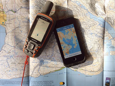
There is a choice as to how we interact with our GPS/phone on the hill. There is a continuum - at one end we can follow the dot and let the GPS control us. At the other end we can exercise our spatial awareness, observation and decision-making skills with a map and just use the GPS to confirm a decision after it has been made, in that scenario we control the GPS.
In between those two ends are a range of levels of integration using navigation tools combined with our spatial awareness and decision making skills. Examples might be using a screen map without the GPS function or navigating from a paper map and taking regular position checks from the GPS.
The aim ought to be to integrate the tools in order to benefit both navigation efficiency and spatial knowledge acquisition.
Return to the Navigation Blog
 FREE UK tracked delivery
 Order by 12pm Mon-Fri for same day dispatch


