HARVEY Mapstore UK & Ireland maps Fell race maps Challenge maps Paddy Buckley Round
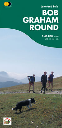
The ideal planning and navigation guide.Detailed waterproof map including the suggested route to complete all 61.25 miles and 47 tops.The route was first completed by Wendy Dodds on 30 May 1982.Detailed HARVEY mapping at 1:40,000 scale.Clear and easy to readWaterproof and light to carryCan be used with GPS
Orders placed and accepted before 12pm Monday - Friday will be dispatched the same day. Orders placed after 12pm are dispatched the next business day.
To UK addresses:
Standard Royal Mail 48 Tracked shipping is FREE for ALL orders over Θ20. For orders less than Θ20, delivery charge for Royal Mail 48 Tracked is Θ2.95. If you require a faster shipping service please select Royal Mail 24 Tracked at checkout.
EU, USA and Rest of the World:
Orders are dispatched by Royal Mail International Tracked service.
Prices start at Θ7.95 to EU countries, Θ13.95 to the USA and Θ8.95 to all other countries.
For full delivery and returns information view our Terms and Conditions page
Buy Now
 FREE UK tracked delivery
 Order by 12pm Mon-Fri for same day dispatchFREE UK tracked delivery over Θ20FREE UK tracked deliveryOrder by 12pm Mon-Fri for same day dispatchFREE UK tracked delivery over Θ20